Auto Amazon Links: No products found. Blocked by captcha.
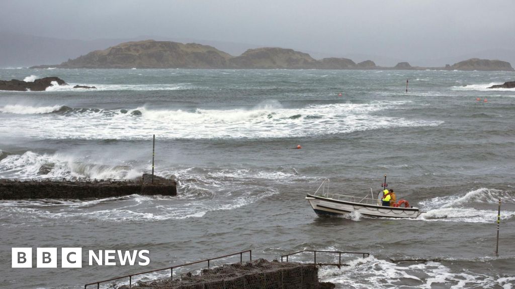
Storm Dave is expected to impact large parts of Scotland throughout the Easter weekend, bringing with it intense blizzards and strong winds. The Met Office has issued a yellow warning for wind across mainland Scotland, with snowfall predicted in the west Highlands, Argyll, and the Western Isles. This severe weather is set to cause disruptions, particularly in these vulnerable areas.
According to power company SSEN, gusts may reach speeds of up to 80 mph in locations such as the Western Isles and Skye. The strong winds are forecast to extend to Orkney and Shetland by Sunday. The company highlighted that the Western Isles, Skye, and the Highlands are likely to face the greatest risk on Saturday and Sunday, and also noted heightened chances of disruptive weather conditions affecting Orkney, Shetland, and northeast Scotland as the weekend progresses.
Northern Ireland, along with certain parts of England and Wales, may also experience some weather-related damage due to Storm Dave. The Royal Society for the Prevention of Accidents (Rospa) cautioned that the Easter holiday traffic could face significant interruptions. Rebecca Guy, Senior Policy Manager at Rospa, emphasized the need for careful preparation, stating: “Millions of people are expected to be on the move over the holiday, so we’re urging drivers to plan ahead. Anyone travelling should take extra care on the roads. The combination of strong winds and periods of heavy rain will make driving conditions challenging.”
Meteorologists have highlighted that a deepening low-pressure system will move northeastwards across northwestern parts of the UK on Saturday evening, clearing by Sunday. The Met Office’s wind warning covers much of Scotland from early Saturday evening until midday Sunday, with southern Scotland having a separate warning from late Saturday afternoon until early Sunday morning. Peak gusts are predicted to reach between 50 and 70 mph in exposed locations. Additionally, heavy snow is anticipated to begin as rain turns to sleet and snow over hills in central and northwestern Scotland, particularly after mid-afternoon Saturday. Blizzard conditions along with drifting snow are likely to cause very poor visibility on the hills and mountains in the northwest. Snow accumulation is expected mostly above 656 feet (200 meters), with possible totals of up to 4 inches (10 cm), and a smaller chance of reaching 8 inches (20 cm). The unsettled weather should clear later on Sunday
Read the full article from The BBC here: Read More
Auto Amazon Links: No products found. Blocked by captcha.