Auto Amazon Links: No products found.
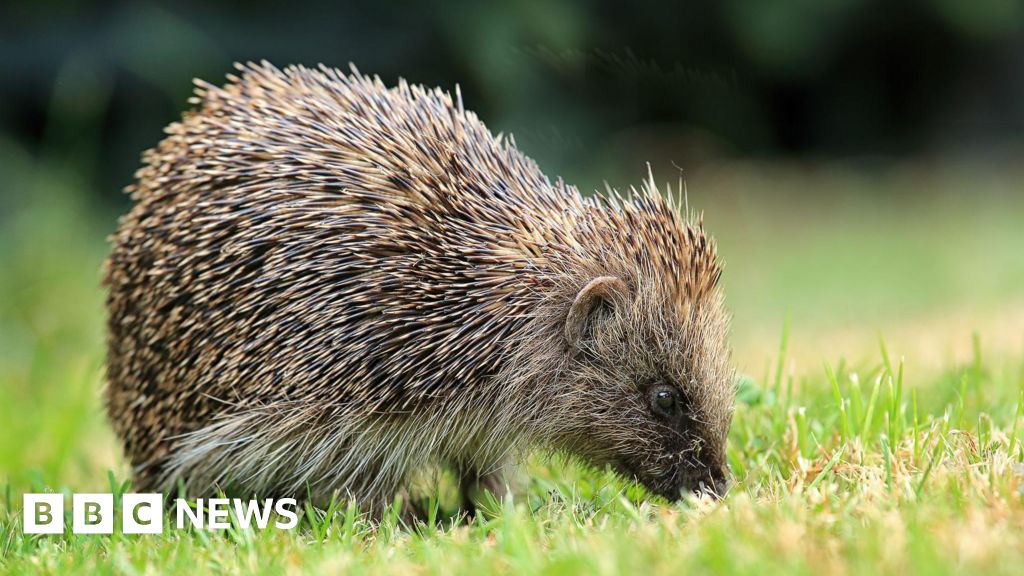
Scientists at the University of Cambridge are harnessing the power of artificial intelligence (AI) combined with satellite imagery to address the decline of hedgehog populations in Britain. By employing a sophisticated AI model known as Tessera, researchers analyze highly detailed images captured from space to accurately locate where hedgehogs live and identify areas where their habitats are shrinking. This advanced technology generates maps that highlight landscape features down to individual hedgerows, and can even predict suitable habitats hidden beneath cloud cover.
The goal of this project is not only to chart the distribution of hedgehogs across the UK but also to understand obstacles that hinder these animals from accessing food sources and finding mates. According to the team, Tessera’s data outputs allow for monitoring how environmental changes, such as new housing developments, might affect hedgehog-friendly areas over time. Additionally, information derived from the satellite AI can be integrated with other data sets, including movement patterns tracked by tiny GPS devices fitted on some hedgehogs, affectionately called “digi-hogs” by the researchers.
Hedgehog numbers have experienced steep declines throughout Europe in recent years, with a 2022 UK report estimating a 75% fall in rural populations since 2000. Despite the worrying trends, experts like Professor Silviu Petrovan from the People’s Trust for Endangered Species express optimism about the role AI can play in conservation efforts. He emphasizes the potential for “really powerful models” to pinpoint very specific barriers preventing hedgehogs from safely navigating the countryside in search of essentials like food and mates.
Developing the Tessera system required immense computational resources due to the vast data volumes involved—approximately 20 petabytes, equivalent to about 10 billion digital photos. When the university’s allocated computing capacity was reached, additional processors were personally installed by the researchers to sustain progress. Moreover, recent partnerships with technology companies AMD and Vultr have provided further infrastructure support. While Tessera helps in hedgehog conservation, its open-source platform is used by over a hundred research groups worldwide for various purposes, including agricultural monitoring and environmental studies. Professor Anil Madhavapeddy of Cambridge highlights how Tessera simplifies the otherwise complex task of processing noisy satellite data to produce user-friendly maps, enabling researchers to pose highly specific spatial questions about landscapes visible from space
Read the full article from The BBC here: Read More
Auto Amazon Links: No products found.